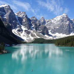
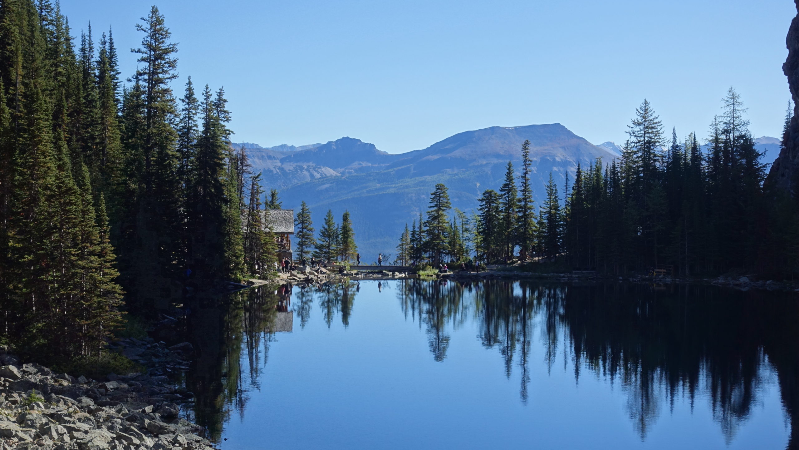
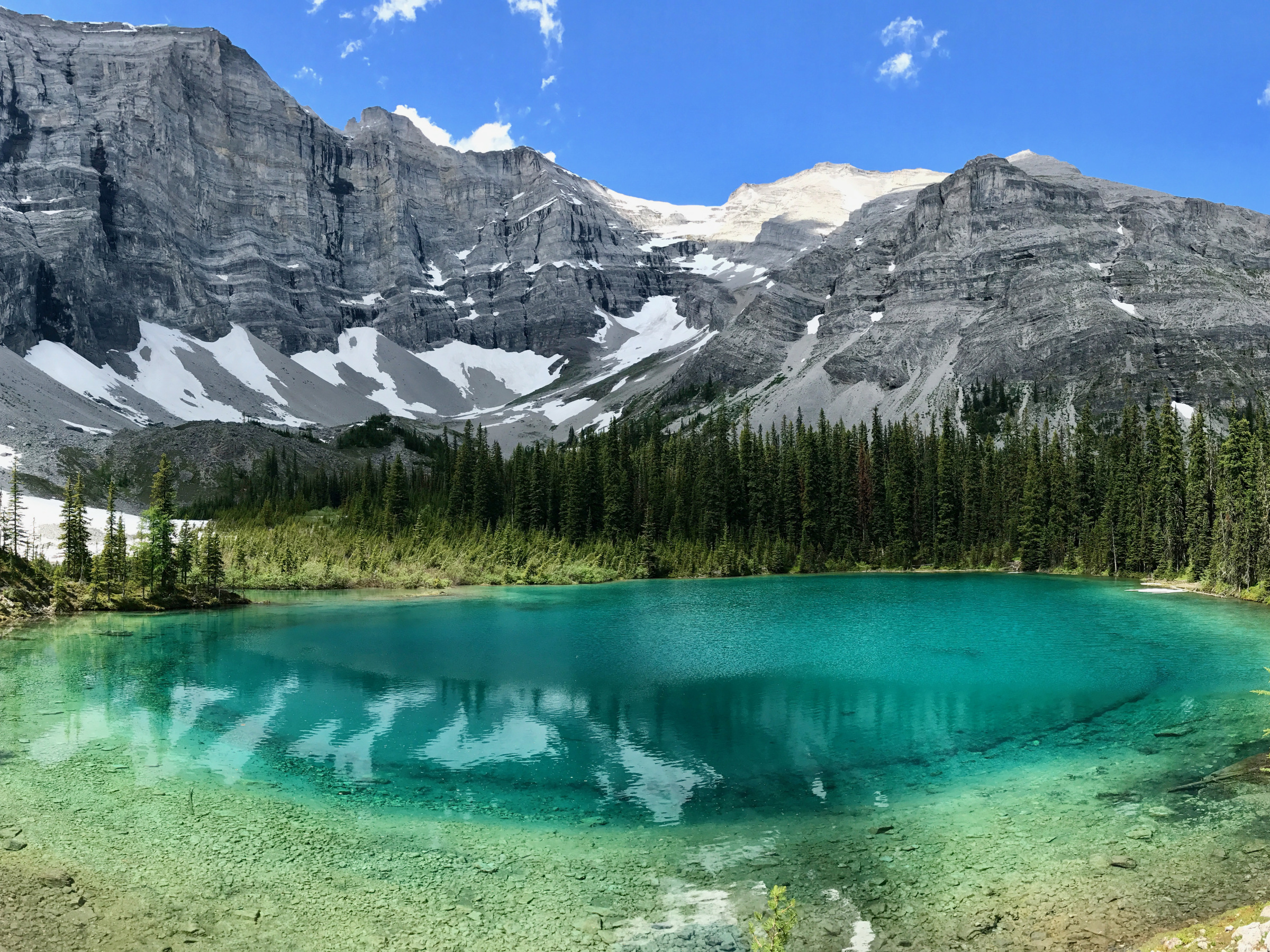
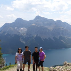
Town of Banff

Banff is a town within Banff National Park in Alberta, Canada. It is located in Alberta’s Rockies along the Trans-Canada Highway, approximately 126 km (78 mi) west of Calgary and 58 km (36 mi) east of Lake Louise. At 1,400 to 1,630 m (4,590 to 5,350 ft) above sea level,[4] Banff is the community with the second highest elevation in Alberta, after Lake Louise. The Town of Banff was the first municipality to incorporate within Read more about Town of Banff[…]

Cave and Basin National Historic Site

The Cave and Basin National Historic Site of Canada is located in the town of Banff, Alberta, within the Canadian Rocky Mountains, at the site of natural thermal mineral springs around which Canada’s first national park, Banff National Park, was established. Geology and setting The Cave and Basin is the lowest component of nine sulphurous hot springs clustered in three groups on Read more about Cave and Basin National Historic Site[…]

Lake Louise, Banff, Alberta, Canada

Lake Louise, Banff, Alberta, Canada

Lake Louise is a hamlet within Banff National Park in Alberta, Canada. Named after Princess Louise, Duchess of Argyll, it lies in Alberta’s Rockies on the Bow River, 3 km (1.9 mi) northeast of the lake that shares its name. Initially settled in 1884 as an outpost for the Canadian Pacific Railway, Lake Louise sits at an elevation of 1,600 m (5,200 ft), making it Canada’s highest community. The nearby lake, framed Read more about Lake Louise, Banff, Alberta, Canada[…]

Lake Agnes, Banff, Alberta, Canada

Lake Agnes is a small mountain lake in the Banff National Park of Alberta, Canada. It has a surface of 0.52 km2 and is located approximately 3.5 km (one-way) hiking distance from Lake Louise. A teahouse is situated along the eastern shore at an elevation of 2134 metres (7002 ft). A hiking trail continues down the northern shore, making a 180° turn before ascending to the Big Beehive. Just before the Read more about Lake Agnes, Banff, Alberta, Canada[…]

Johnston Canyon and Ink Pots, Banff, Alberta

As Johnston Creek approaches the Bow River, it flows through a large canyon formed by erosion over thousands of years. The creek has cut through the limestone rock to form sheer canyon walls, as well as waterfalls, tunnels, and pools. A popular hiking trail follows the canyon and leads to a meadow within the Johnston Valley above Read more about Johnston Canyon and Ink Pots, Banff, Alberta[…]

Quarry Lake, Canmore, Alberta

Canmore’s mining history Canmore first rose to international prominence over a century ago when prospectors discovered high quality anthracite coal along Canmore Creek. Anthracite coal is hard and lustrous with a high carbon content that burns hot and clean, making it ideal for generating steam. In 1887, when the Canadian Anthracite Coal Co. opened the Read more about Quarry Lake, Canmore, Alberta[…]

Lac des Arcs, Canmore, Alberta

Lac des Arcs is a hamlet in Alberta, Canada within the Municipal District (M.D.) of Bighorn No. 8. It is located on the south side of the Bow River opposite the Hamlet of Exshaw and has an elevation of 1,320 metres (4,330 ft). Highway 1 (the Trans-Canada Highway) borders Lac des Arcs on the south. The hamlet is located in census division No. 15 and in the federal riding of Wild Rose. The Lake The wide span of the Read more about Lac des Arcs, Canmore, Alberta[…]

Grassi Lake

Grassi Lakes, Canmore, Alberta, Canada

The Upper and Lower Grassi Lakes lie at an elevation of about 1,525 m (5,003 ft) in the southern Canadian Rockies overlooking the town of Canmore, Alberta. They receive their water from the Spray Lakes Reservoir on the Spray River. The land is part of the Canmore Nordic Centre Provincial Park, which is part of the Kananaskis Country park system. The lakes are named after Lawrence Read more about Grassi Lakes, Canmore, Alberta, Canada[…]